Legion Post 139
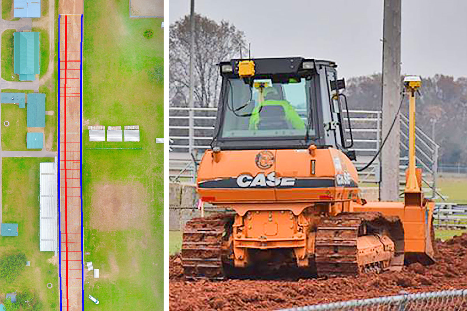
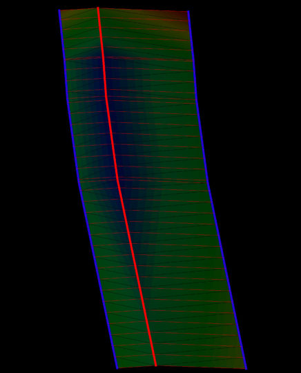
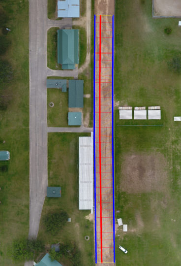
TECHNOLOGY – – Drone & GPS Mapping
Prior to starting, a drone was flown over the 350-foot-long track to record the topography so a uniformly flat surface could be dozed using the machine’s Global Positioning System. Waushara County Fair Association President Don Nelson said the track was in need of maintenance and needed improved drainage. The training center donated the work to the fair association.